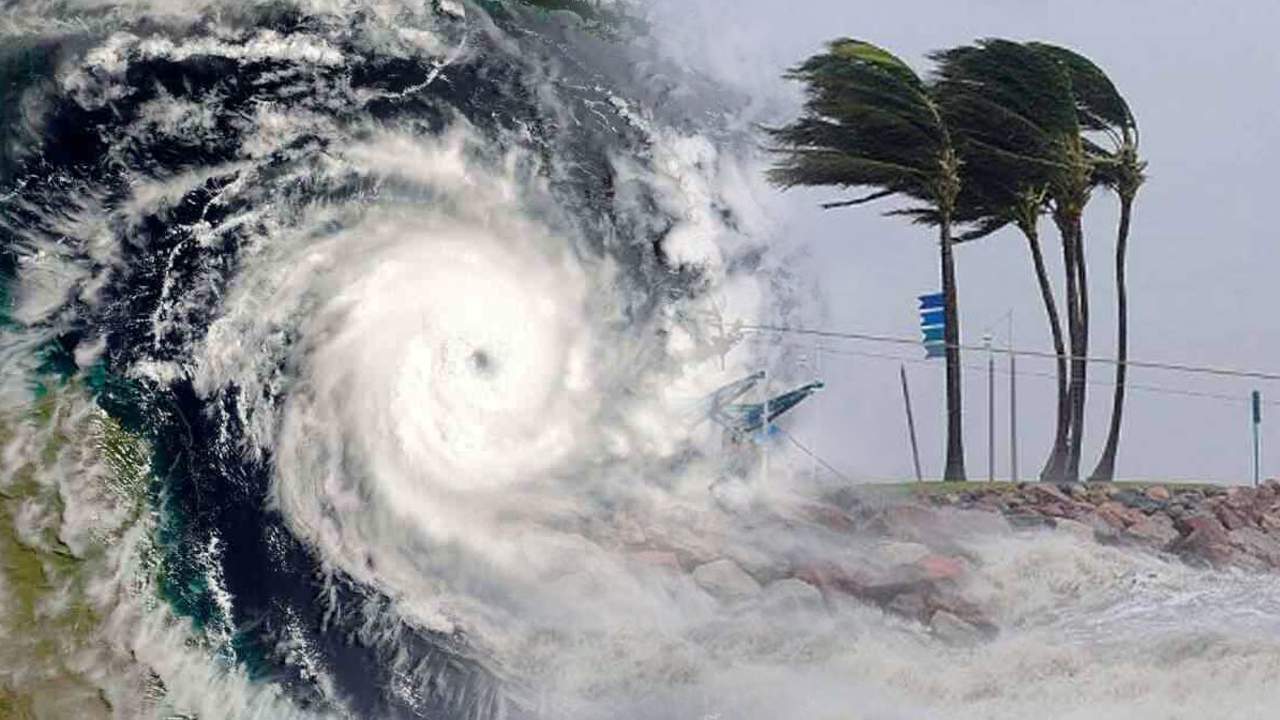
Cyclone Dana is rapidly intensifying over the Bay of Bengal and is projected to make landfall between Puri in Odisha and Sagar Island in West Bengal on the night of October 24, continuing into the early morning of October 25. This severe cyclonic storm is expected to bring heavy rainfall and strong winds, prompting authorities to issue alerts across affected regions.
Current Status of Cyclone Dana
As of October 22, 2024, Cyclone Dana has developed from a low-pressure area into a more organized system, with forecasts indicating it will reach severe cyclonic status by the morning of October 24. The India Meteorological Department (IMD) has reported that the storm will likely have wind speeds ranging from 100 to 120 km/h, with gusts potentially reaching up to 120 km/h as it approaches the coast.
IMD Warnings and Alerts
The IMD has issued a red alert for several districts in Odisha, including Puri, Khurda, Ganjam, and Jagatsinghpur, signaling the potential for extremely heavy rainfall and severe weather conditions. An orange alert has been raised for districts such as Kendrapada and Cuttack, while a yellow alert is in effect for Bhadrak, Balasore, and Jajpur. Residents are advised to prepare for heavy rainfall, which could accumulate between 20 to 30 cm in some areas.
Impact on Coastal Regions
Coastal districts in both Odisha and West Bengal are on high alert as Cyclone Dana approaches. The Odisha government has implemented precautionary measures, including preparing cyclone shelters and conducting evacuation drills in vulnerable areas. Fishermen have been advised to refrain from venturing into the sea until at least October 26 due to dangerous conditions.
Expected Weather Conditions
Heavy rainfall is forecasted to begin in parts of Odisha on October 23, escalating as the cyclone nears landfall. The IMD warns that coastal regions may experience significant waterlogging and disruptions due to strong winds and heavy rain. The prolonged presence of Cyclone Dana along the coast could lead to flash floods and other hazardous conditions.
Areas Which May Be Affected
The impact of Cyclone Dana is expected to be felt across several districts in both Odisha and West Bengal. In Odisha, areas likely to experience severe weather include:
- Puri: Anticipated heavy rainfall and strong winds could lead to flooding.
- Khurda: High wind speeds may disrupt local infrastructure.
- Ganjam: Vulnerable to waterlogging due to heavy precipitation.
- Jagatsinghpur: Expected to face intense weather conditions.
In West Bengal, districts such as:
- South 24 Parganas: Likely to experience heavy rains and potential flooding.
- Purba Medinipur: Anticipated strong winds affecting coastal areas.
- Kolkata: Preparations are underway for possible disruptions due to adverse weather.
Government Preparedness
In response to the impending storm, the Odisha government has ramped up its emergency preparedness efforts. Chief Secretary Manoj Ahuja held a review meeting with officials to ensure that all necessary measures are in place for a coordinated response. The National Disaster Response Force (NDRF) has deployed teams across both states to assist with rescue operations if needed.
Disclaimer: The information provided in this article is based on forecasts from the India Meteorological Department (IMD) and other reliable sources. Residents in affected areas are encouraged to stay updated through official channels and adhere to safety advisories issued by local authorities.
As Cyclone Dana approaches, it is crucial for residents along the Odisha-West Bengal coast to remain vigilant and prepared for potentially severe weather conditions over the coming days. Regular updates will continue as more information becomes available regarding this developing situation.


